Meet the 3rd Generation of People Counting Technology
Mirroring the Technological Evolution Across Industries, People Tracking and Counting Technologies Have Now Entered Their Third Generation of Performance and Scope
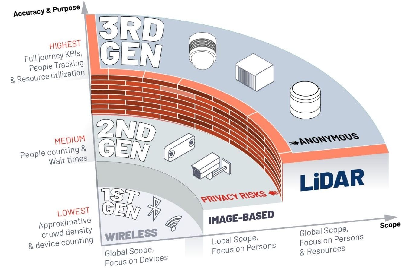
Technological evolution is not a linear or uniform process. Significant improvements in performance and capabilities, which open up previously impossible possibilities, typically follow quantum leaps or technology generations.
The transition from approximate People Counting solutions to comprehensive Spatial Intelligence, based on continuous People Tracking, involves not just one, but two generational steps.

How LiDAR works
A generational change of Scope
A generational quantum leap occurs not only when a highly valuable capability, previously impossible with earlier technology, emerges, but also when this can be applied to a broader scope. This leap is also often accompanied by increases in performance.
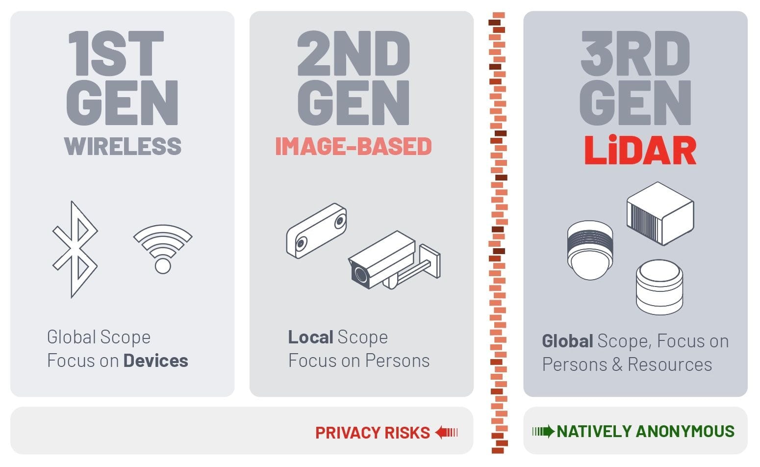
In the context of People Counting & Tracking, the key Scope aspects to consider are:
- Can the technology accurately track actual individual people, as opposed to merely following proxies like their associated devices such as smartphones?

- Global or Local application: is the People Counting & Tracking technology suitable for large-scale implementation across multiple areas (e.g. an entire airport across terminals or multiple levels in a retail store) or restricted to monitoring a specific spot (like passport control zones or just the footfall of a store) ?
In this example we show how Outsight's technology based on LiDAR data can follow individual travelers across four different levels between a train station and an airport terminal over long distances, something not realistic with 2nd Generation technology:
Multi-level People Tracking
A unique feature of 3rd Generation tech is the ability, with the right software platform like Outsight's, to individually follow the full journey of each individual visitor:
Each individual person can be tracked, among thousands of them
- People Counting or Spatial Intelligence: does the technology primarily focus on just counting persons, or does it offer additional insights into their engagement with the surrounding environment, such as resource usage analytics?

Privacy concerns are equally significant:
- What potential risks exist regarding the protection of personal data?
Anonymizing data like Images is not the same as using a native Anonymous generation of technology, as explained here:

The third generation of People Counting and Tracking technology represents a genuine leap forward in terms of data privacy protection, offering a fundamentally different approach compared to previous generations.

Higher performance
As the technology evolves, each generation brings also significant performance improvements.
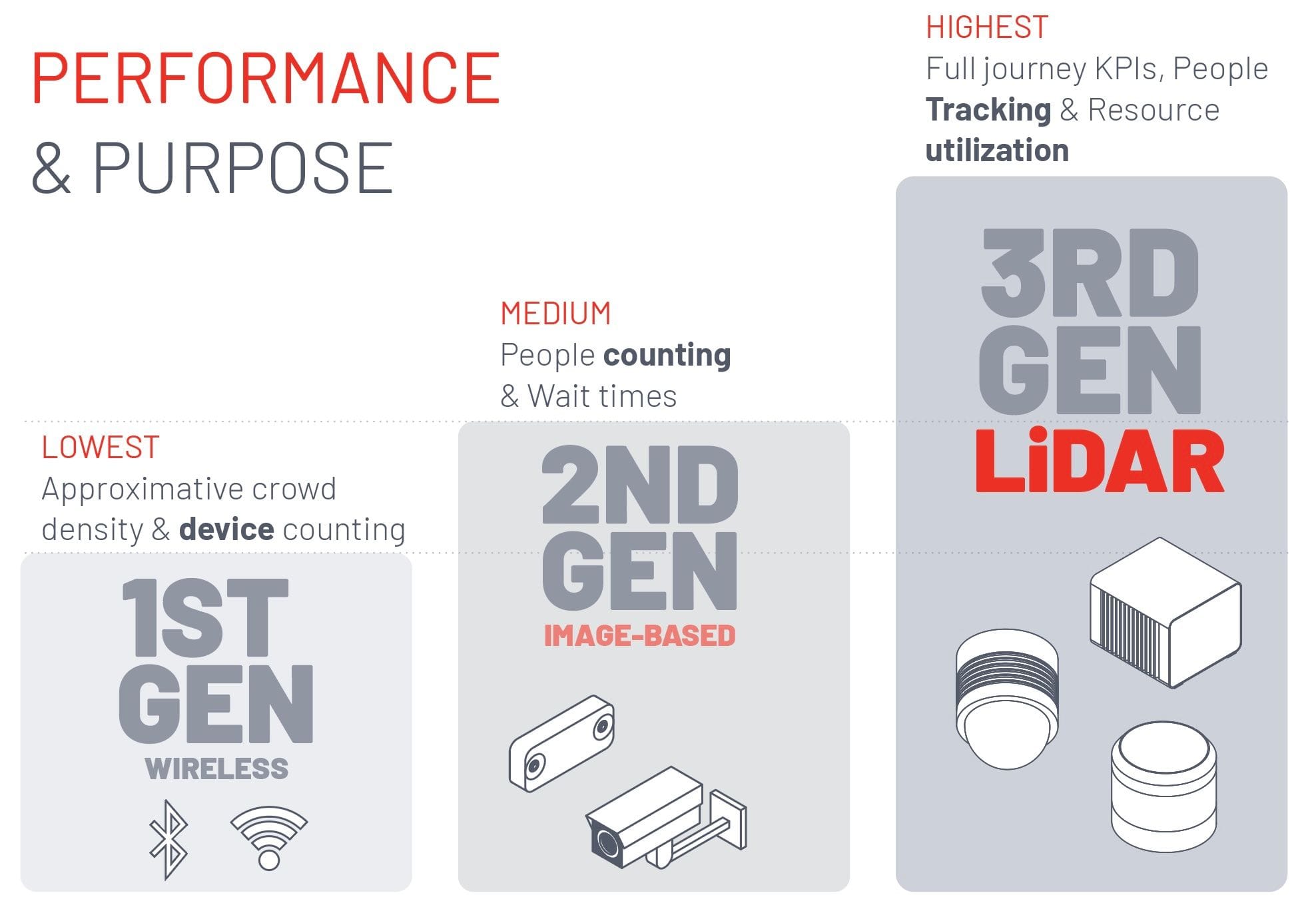
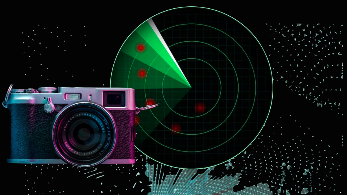
As an example between Second Generation and Third Generation differences, a Camera cannot natively understand depth information nor the size, speed or volume of objects and people.

Getting close to 99% market expectations requires 3rd Generation-approaches that tackle the right problems to solve,

To learn more how LiDAR technology compares to other solutions, take a look at the following article or download our People Counting Technologies Guide.
Welcome to the 3rd Generation
Three conditions have been met for this new generation of technology to become widely accessible.
1. Accessibility: The necessary hardware is now performant and reliable.
There is now a diverse range of manufacturers offering various LiDAR sensor solutions, each with its unique strengths and weaknesses that cater to specific contexts.
This diversity allows for greater flexibility when selecting and combining the right models for a project.
2. Affordability: The cost is comparable to or lower than that of legacy technologies like Cameras.
The cost reduction stemming from LiDAR sensors is driven by a combination of factors. Firstly, the intense competition among numerous manufacturers fuels significant price drops in these advanced technologies.
Secondly, compared to second-generation solutions such as ceiling-mounted stereo-vision cameras, LiDAR sensors can cover between three and ten times more surface area per device.
This expanded coverage translates into substantial cost savings across various aspects of implementation. With fewer devices required per square meter, expenses associated with setup, wiring, networking, processing, and maintenance are significantly reduced.
3. Proven & Scalable Usability: Spatial AI Software like Outsight's not only has a proven track record but also offers the flexibility to handle large-scale projects.
Software specialists like Outsight, with extensive experience spanning many years, can also leverage the best hardware solutions from any manufacturer to deliver actionable insights.

Beyond People Counting and Crowd Monitoring
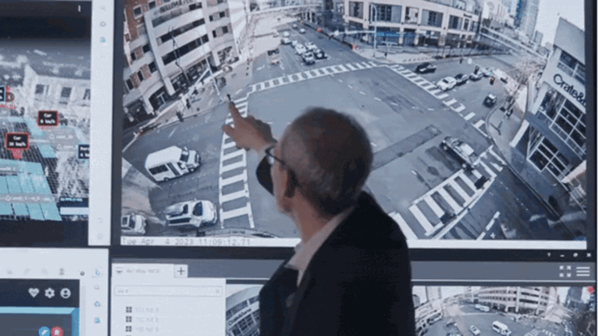
The versatility of LiDAR extends beyond People Counting, powering solutions like Vehicle Tracking for smarter cities and roads, further highlighting its importance in advancing urban infrastructure.
To learn more don't hesitate to download our comparative guide:

Conclusion
Transitioning from approximate People Counting systems to advanced Spatial Intelligence solutions that rely on continuous People Tracking is a multi-faceted process, encompassing not one but two technological generations.
If you want to explore how we can help you with this transition, just let us know.
