The Transformative Power of LiDAR on the railway industry
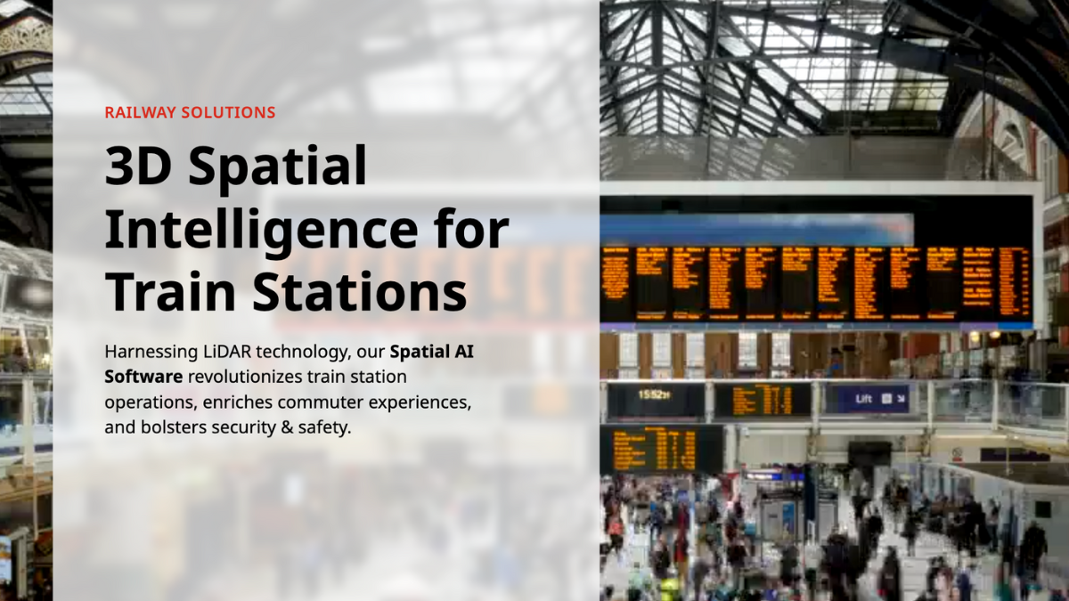
Conventional sensors like cameras and radars struggle to meet the complex demands of the rail industry due to their numerous limitations and potential operational challenges.
With a 2.9% annual growth on average between 2018 and 2023, the market size of the US Rail Transportation industry reached $110.1bn in 2023.
Safety, efficiency and performance are some of the key factors to the rail sector’s continued growth, and their importance will only grow as rail freight movement continues to increase.
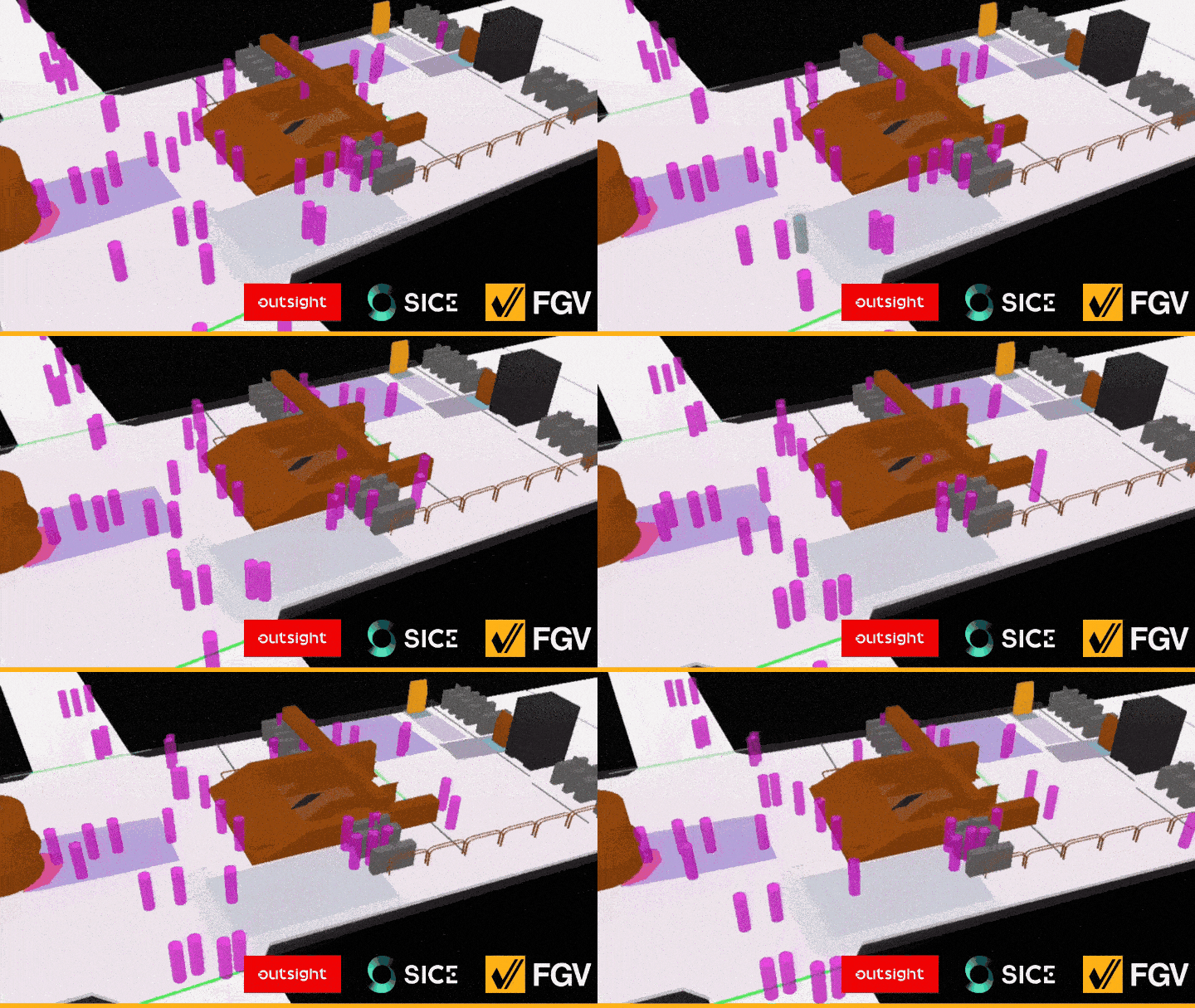
This is also true for the whole supply chain: to increase safety and efficiency, ports, local delivery services and trucking businesses have already started integrating LiDAR sensors into their infrastructures.
To gain maximum benefits in the rail business, it is crucial to comprehend how LiDAR technology works, and why you should look into it.
How does LiDAR works?
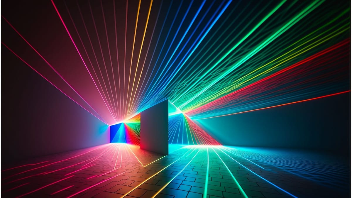
LiDAR is a technology that uses laser beams to measure distances with an unprecedented level of accuracy.

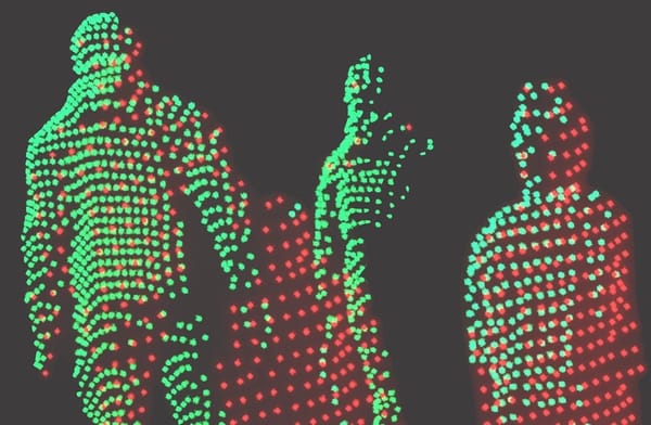
By scanning the laser beam across an object - or environment - and measuring the distance at many different points, the LiDAR can create a detailed 3D map of any area and can track movement in this area.
You can learn more in this article:

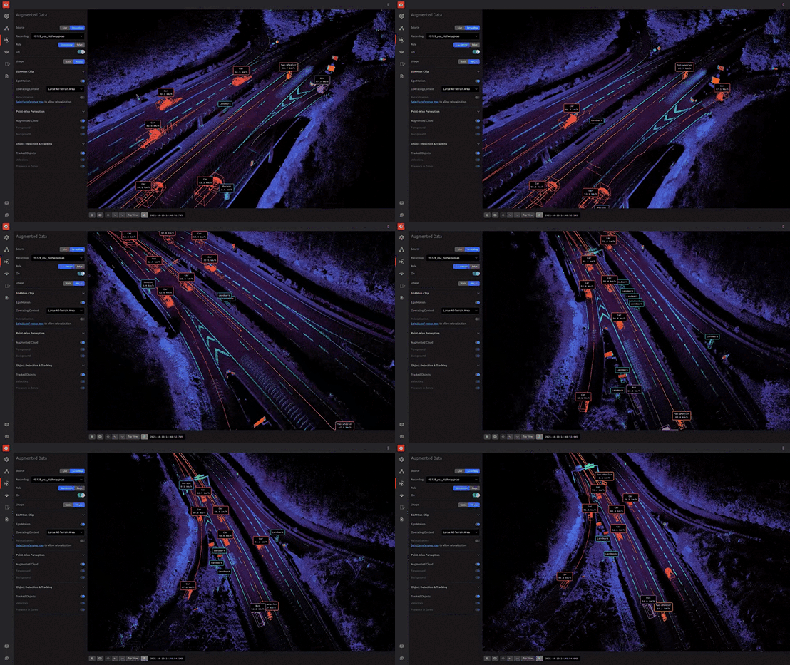
Used with the right software, it allows you to gather actionable data with centimeter-level accuracy.
For a quick overview of the key software algorithms running on top of this LiDAR data, take a look at this other article:
Why is LiDAR relevant to the Rail Industry?
The complicated requirements of the rail sector cannot be met by conventional sensors like cameras and radars, due to their many limitations and potential operational difficulties.
For instance, cameras are limited to 2D detection and unable to measure spatial information (distance, size, volume, velocity...). In addition, their detection abilities are limited in low-light situations, such as at night, tunnels, and changing weather but also in direct sunlight situations.
On the other hand, because of the wavelengths used in Radar these sensors, they have a low detection accuracy for stationary objects and a low classification precision by nature.
LiDAR is an essential remote sensing modality to add to your infrastructures due to its long range capabilities, its capacity to give extremely accurate real time 3D data regarding an object volume and velocity regardless of the lighting and weather circumstances.
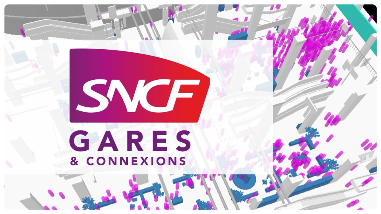
When compared to cameras and radars, LiDAR technology can identify and locate objects (when used with the right software) with centimeter level accuracy. It may be used to map out and navigate complicated settings, classify objects, and offer exact location, velocity, and trajectory information.
LiDAR is the most trustworthy perception sensor to record high-quality data over a wide field of view, and at distances of more than 500 meters in some cases.
Where to start?
Ultimately your LiDAR installation should fit your needs : depending on the size of the area you want to cover or the type and number of objects your want to track, some sensors are more suitable than others.
And what better way to choose from all of the manufacturers than our LiDAR installation simulator ?
Once you give our simulator your specs, not only will we recommend the type of sensor that fits your need, but the number you might need, as well as their most efficient position and orientation!
Take a look at this article for more information on this critical tool:
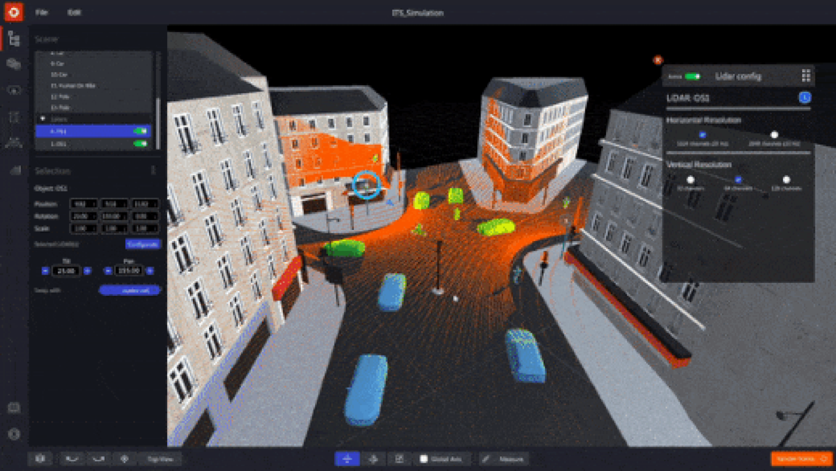
So you have a tailor-made LiDAR installation that allows you to gather all the relevant data you need.
Conclusion
Conventional sensors such as cameras and radars struggle to meet the complex demands of the rail industry due to their numerous limitations and potential operational challenges.
Owing to its exceptional ability to gather spatial data at extended ranges with centimeter-level precision, regardless of lighting conditions, 3D LiDAR—when combined with appropriate software—will significantly enhance the safety and intelligence of the railway industry in the coming years.
Download our newest whitepaper or talk with a Product Specialist to get your LiDAR solution ready !
