The 5 Mega-trends Blowing in LiDAR Tails
Five long-term factors are driving the development of 3D perception technology and will therefore change a diverse set of industries all around the world.
It's easy to lose sight of the big picture when, as a team, you're focused on delivering short-term and concrete LiDAR software solutions to dozens of customers in a variety of industries, frequently adding new features (and fixing some bugs!): so let's take a step back for a second and look at some macro-trends shaping the industry.
We're witnessing the convergence of five long-term drivers propelling the advancement of 3D perception technologies.
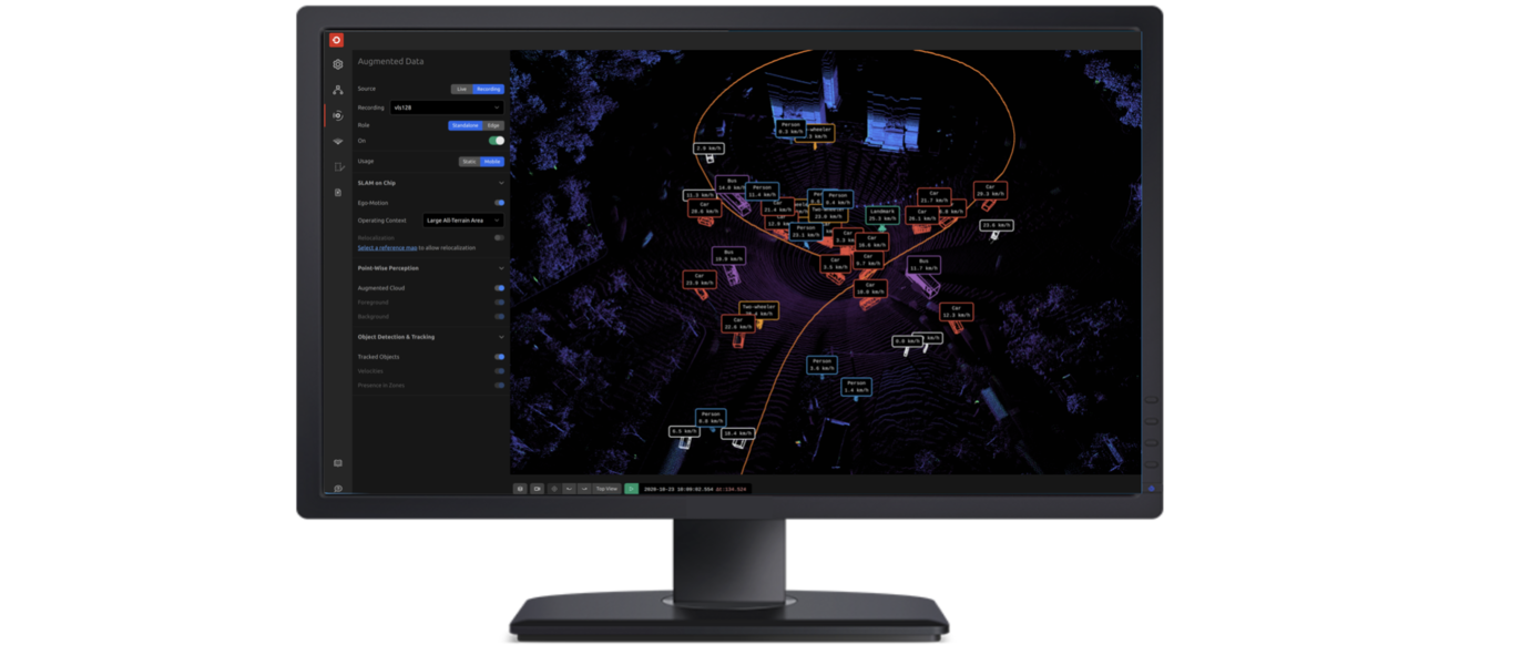
1. People and Goods' flow Intelligence (while maintaining privacy)
Operators of both public and private spaces are under increasing pressure to ensure that people and products can move as efficiently as possible while simultaneously respecting the growing concerns for privacy.

For example, one of the major topics in the context of Smart City management is monitoring, understanding, and predicting city user behaviour (hottest places, trajectories, flows, and so on), so the delivery of city services can be improved (security, clean, transport,..).
When used in private spaces, the goal is also frequently to improve operational efficiency, as demonstrated in one of our customers' premises, where thousands of people are anonymously tracked in real time:

In the vast majority of cases, Personal Identification data is not really required because the questions to be answered are mostly about "where," "when," and "how many / how long," and not so much about "who" (in the sense of an individual person).
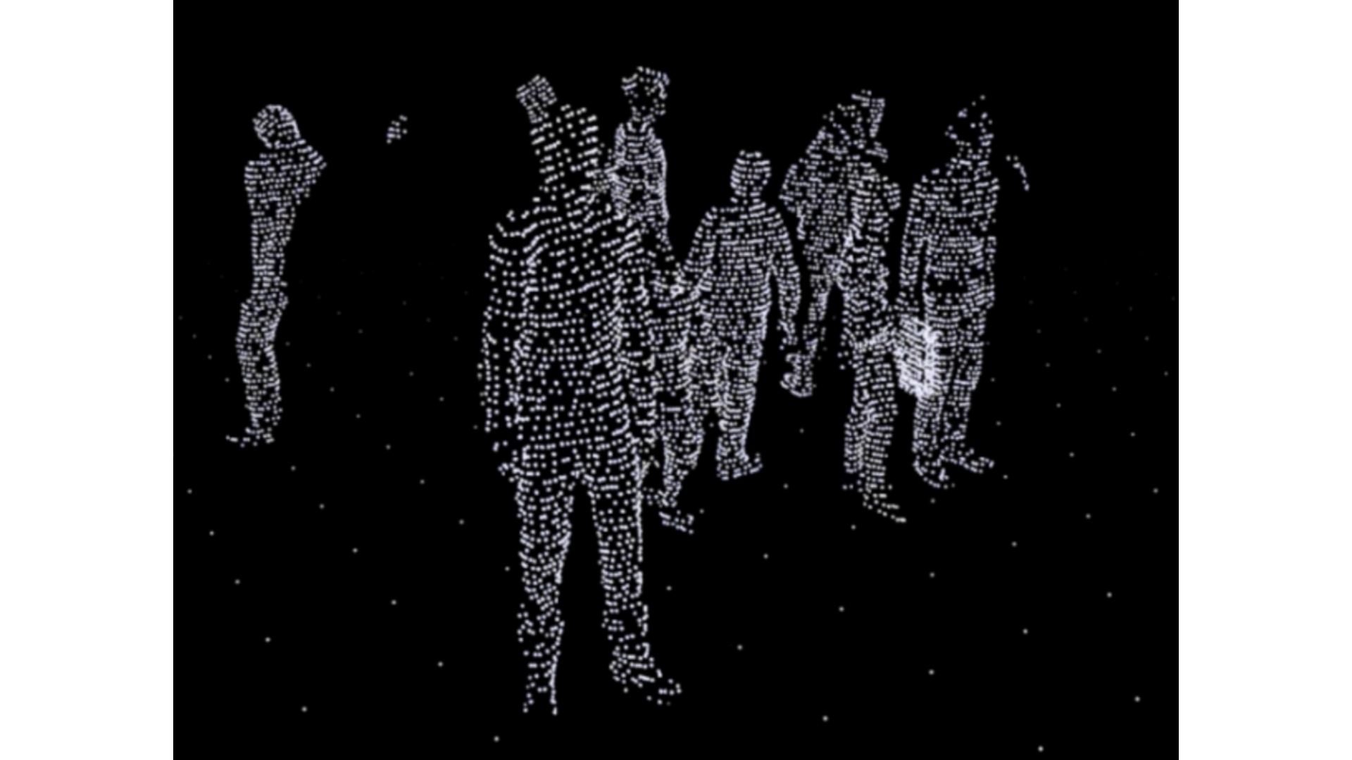
The need is to provide Spatial Intelligence: 3D LiDAR sensing (and soon Imaging Radar) provide the ideal raw data that can be processed by the right software to turn it into insightful and actionable information.
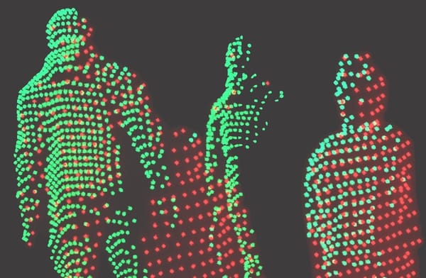
Unlike 2D images, these 3D natives sensors cannot capture personal identification information. They are a native privacy respectful solution:
2. Increasing Safety
Reducing accidents is commonly cited by LiDAR manufacturers as one, if not the most important, benefit of perceiving the world in 3D, whether in the context of fully autonomous driving or ADAS (Advanced Driver Assistance Systems).
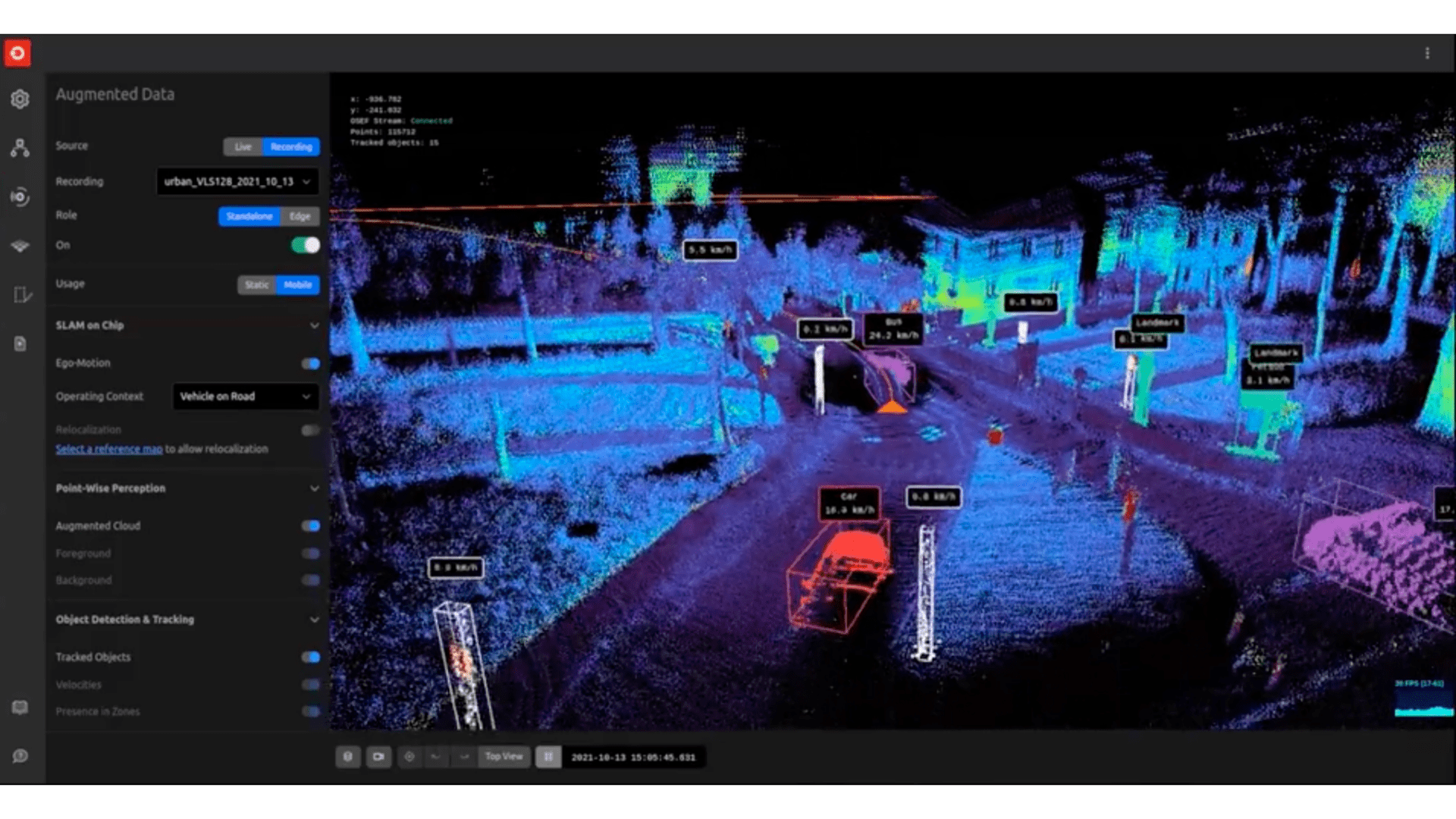
3D perception embedded in vehicles is not the only way to achieve this: we're also seeing more and more initiatives aimed at eliminating traffic deaths by making the city's infrastructure smart, such as the Vision Zero initiative from the City of Bellevue, Washington, with whom we're proud to collaborate alongside other partners like Amazon Web Services (AWS), Ouster, Sighthound, Inc., Advanced Mobility Analytics Group and Fehr & Peers.
However, the need for safer environments is not limited to roads and cars, it is a much broader trend in the workplace: for example, in the United States alone, forklift accidents in warehouses and factories result in 34,900 serious injuries.
Many other situations, such as the safety around or under cranes on construction sites and in factories, can be handled thanks to 3D Sensing's unique capabilities:

3. The rise of the (mobile) robots
Recent advancements in batteries, processing power, and sensors (including 3D LiDAR), as well as population aging and worker shortages in western countries, are all converging at the same time to accelerate the deployment of robots in general industry including small and medium-sized businesses.

When combined with the right software processing, 3D perception will not only be an accelerator but also an enabler in many cases for automating tasks that fall under robotics' own 3D (Dull, Dangerous, or Dirty) as well as many others that allow for increased productivity (e.g. e-commerce / logistics).
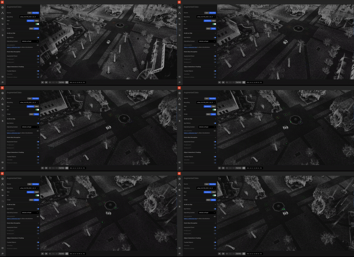
Market reports find that the market for mobile robots, drones, and autonomous vehicles in applications such as delivery and warehousing is likely to reach a staggering $81 and $290 Billion in 2030 and 2040, respectively.
4. The Metaverse (really?) & Digital Twins
We would have been skeptical if we hadn't received several inquiries on the subject in the last few weeks from some of the biggest names in the industry, as interactions between the virtual and real worlds, including digital twin creation and update at massive scales, necessitate not only capturing reality in 3D but also doing so in real-time with the appropriate sensors and, more importantly, the appropriate software.
This appears to be less rooted in actual long-standing needs than the other mega-trends mentioned, but the momentum and overall investment in the subject make it difficult to ignore as it could have a significant impact on the 3D sensing market.
5. Climate change and sustainability
LiDAR for 3D remote sensing, primarily Airborne laser scanning, has been one of the most widely used methods by governments and institutions to collect environmental data for many years, including in the agricultural sector.
At Outsight we have some experience with these applications, having received one of Europe's most prestigious awards, the Green Deal Award, as well as the French Environment Agency's innovation award:
LiDAR data creates a detailed 3D model of the area, including terrain, topography, and vegetation, that can be used for a variety of forestry and ecological applications.

You may find interesting this article on the subject:

or another one here:
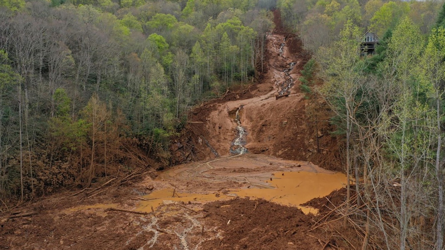
While dealing directly with natural resource conservation has a visible impact, other secondary activities, such as the recycling industry, will contribute significantly to the use of 3D sensing solutions like LiDAR.
We demonstrate how LiDAR can be used to automatically calculate the volume of a truck's load leaving a recycling plant in the example below.

Conclusion
For many, the self-driving car is how they learnt about LiDAR for the first time.
These five mega-trends demonstrate why this incredible technology is here to stay in an endless list of other applications, helping to make the world a smarter and safer place.
Our mission at Outsight is to build the easiest and most efficient way to use 3D LiDAR data in any application.
With the use of our real-time pre-processing software, it has never been simpler to develop advanced 3D-based solutions for the Construction industry.
