Smart Solutions for Portable 3D Mapping
The introduction of LiDAR technology has renewed and revamped mapping approaches. Learn how this technology can be leveraged in Forestry.

Technology has always played a pivotal role in enhancing accuracy and efficiency in the mapping industry. While traditional methods have their merits, the introduction of LiDAR technology has renewed and revamped mapping approaches.
Historically, LiDAR has been instrumental in various mapping applications, from vast landscapes like forests and cities to intricate structures like tunnels and offices. The technology's ability to capture detailed, accurate data has made it a preferred choice for many mapping projects.

The three most common ways for mobile mapping include utilizing a car, a drone, or carrying it handheld. And although common, all of them have their own challenges.
- While cars equipped with LiDAR have been effective for certain terrains, they are often too large, and are not suitable for intricate or delicate areas.
- Drones, though versatile, come with their own set of challenges. They need to fly high, can be dangerous in confined spaces, and are restricted in crowded areas. Battery life is limited, and regulatory permissions can be cumbersome. Additionally, to operate optimally they require perfect flying conditions and skilled pilots.
- Handheld carry, though portable, introduces the element of human error and fatigue. Holding a LiDAR steady for extended periods is challenging, and the loss of concentration could affect data accuracy.
Outsight aimed to develop a solution that was simple, cost-effective, and portable. The goal was to map areas where drones or cars were impractical, such as forests, alleyways, mines, tunnels, and crowded spaces like parking lots, transport hubs, shopping areas, and busy industrial areas.

For all these reasons, Outsight devised a Portable Smart Mapping Kit - a comprehensive backpack-style equipped with all necessary hardware and software.
The kit includes a wearable backplate, a compact data pre-processor, robust batteries, an extendable pole for varied height requirements, a LiDAR unit, and a rugged tablet designed for the harshest environments. The entire setup weighs under 6 kilos and offers around 4 hours of autonomy.
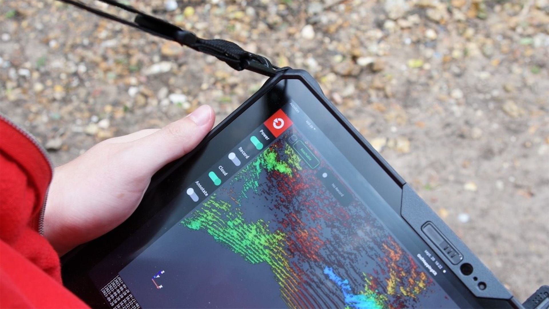
Operation is straightforward. Simply connect the tablet and LiDAR to the data-preprocessor, power it up with the battery, and you’re set to capture high-quality data through the tablet app.

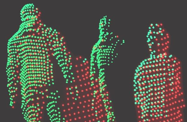
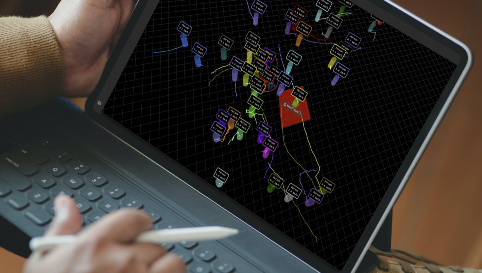
The app is adapted from Outsight software to be minimalistic and run on portable devices. Thanks to its easy to use user interface, constant monitoring is not required. While capturing, live information is displayed such as the point clouds being recorded, LiDAR and GPS status, the user's relative position, and trajectory of mapping.
All which allows an extra feature, real-time annotations. Annotation position and key information will be recorded and is visually persistent in the mapped data.
This solution is cost-effective, easy to transport, and lightweight. The kit's versatility also extends to other use cases, such as adapting it when mounting on trolleys for warehouse mapping or traveling long distances. The small form factor allows it to go in public transport such as metros and airplanes without disturbing other passengers.
With this solution, Outsight reaffirms its dedication to pushing LiDAR technology's boundaries, ensuring that it remains efficient, precise, and adaptable, in any scenario.