People Flow Monitoring 2.0: How LiDAR solutions outperform other technologies
LiDAR solutions' accuracy and versatility make them a superior solution and will undoubtedly lead to improved safety and efficiency in high-traffic areas.
Thanks to how fast the technology has evolved during the past decade, today, we have several solutions for measuring queues and counting passengers at public spaces and transportation hubs like airports, train and bus stations.
With the expressive number of technological solutions available, it's important to have a clear idea of what each one can do and how it can be used.
LiDAR solutions are a promising option for public areas seeking an effective and flexible solution without breaking the bank.
Check out an example about how airports are leveraging Outsight software for managing people flow:

The Need for Continuous Measurements
The technological solutions for measurement projects have been transformed to extraordinary lengths. In addition, the COVID-19 pandemic intensified our concern about social distancing and crowd density. So, counting people and measuring how long they wait in line have become very typical in many use cases.
LiDAR solutions are an excellent option because they don't gather any private data and meet GDPR requirements.

Additionally, LiDAR software can combine multiple LiDARs output to cover vast areas with high measurement precision. This means all collected 3D LiDAR data can be analyzed using tools to identify and improve behaviour patterns, thus improving management decisions.
Typical Tracking and Measurement Technologies
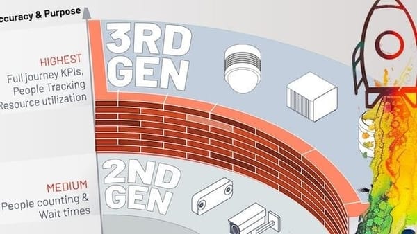
Several technologies have been already tested for different use cases.
We get into the details in this article about LiDAR vs Camera vs Radar :
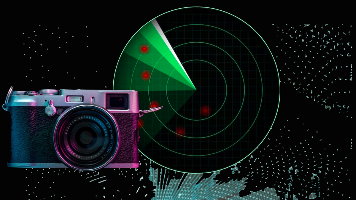
Download our Comparative Guide to discover the latest advancements in People Counting Technologies

How does LiDAR solutions work?
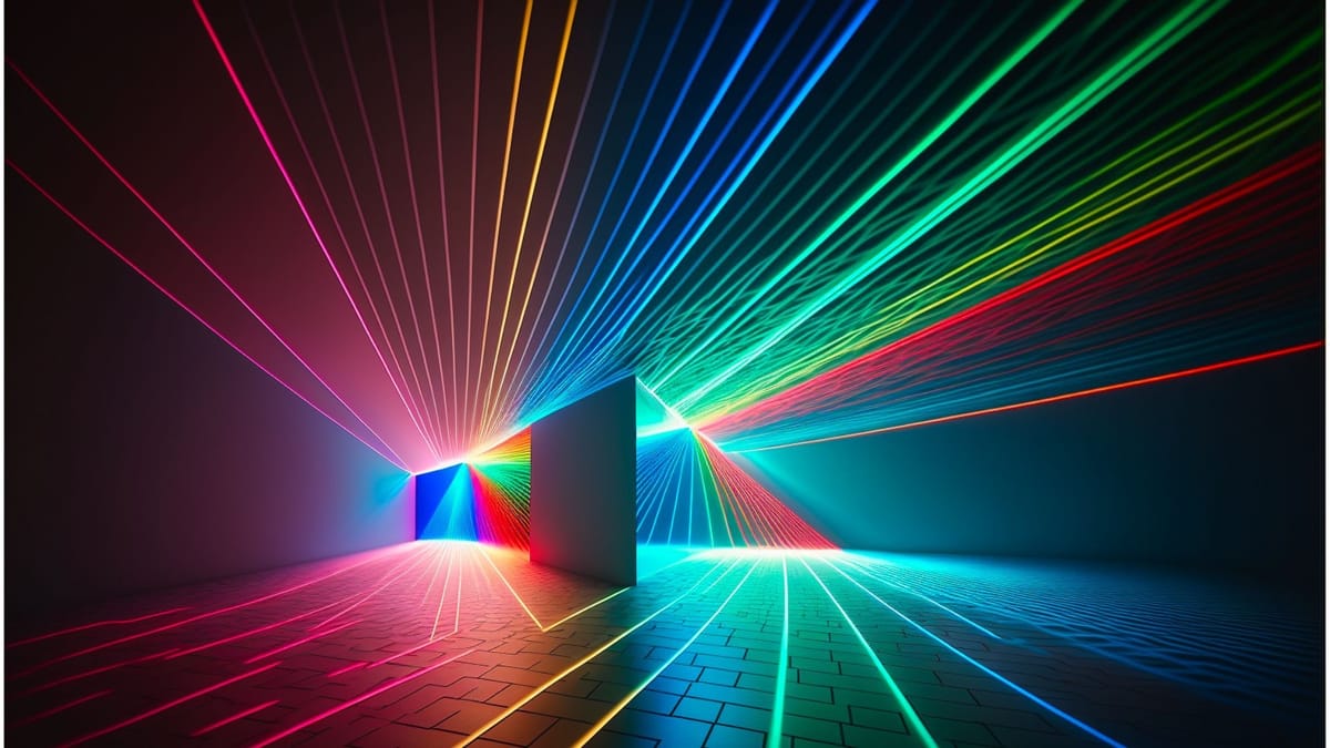
LiDAR technology, to some extent, is similar to Radio Detection and Ranging (RADAR) technology. However, instead of radio signals, the LiDAR sensor sends laser beams and collects the rays reflected by the objects.
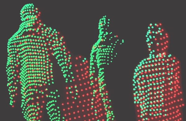
The distance towards the objects is measured by calculating the time it took the reflected laser beams to hit back at the sensor. The spectrum of reflected laser beams creates a "3D point cloud" of a specific area, which is the source data for consecutive object recognition and analysis, made by software like Outsight’s.
Learn more in our article about what is LiDAR :
This 3D perception layer is crucial to processing LiDAR data and running tasks like point-cloud filtering and conditioning, sensor aggregation (when we have more than one sensor capturing data), object detection, and so on.
The final step requires further processing to meet particular business challenges by computing actionable KPIs and showing them on a dashboard.
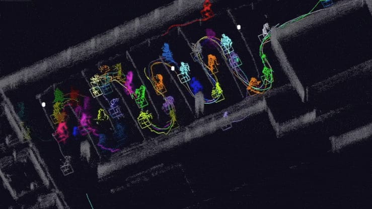
For example, if the objective is to calculate the queue waiting duration in a store, the software will detect and track people while identifying whether they belong to a particular queue. It will then run statistics on the processed data and present them in an easy-to-digest format.
The Advantages of LiDAR solutions
While LiDAR technology by itself isn’t a modern-day gold mine, LiDAR solutions can enhance the measurement process of people flow more efficiently than typical queue measurement tools based on cameras with a limited view horizon.
LiDAR sensors also have a broad field of view with a range of up to 200 meters, allowing LiDAR solutions to detect longer lines even if they go outside of the designated areas.
Besides, an installation of LiDAR solutions is less expensive than others in a greenfield situation because of the optimization of the number of sensors, especially in places with low ceilings where dozens of cameras are needed to cover the area.
How Outsight Powers Scalable Yet Cost-Effective Projects
To successfully carry out a LiDAR measurement project, one must clearly assess the measurement and detection installation use cases.
Thanks to Outsight’s expertise in LiDAR technology solutions and the benefits and problems of different setups, whether associated or not with other types of cameras, Outsight’s team can provide knowledge to successfully deploy a spatial intelligence solution in any setup.
Outsight helps customers that need people flow monitoring solutions integrate the most advanced sensor technology without vendor lock-ins. The platform also makes it easier to scale up and brings down costs. This is because the different sensor combinations guarantee the best solution for each use case.
With the use of Outsight's simulator, we help our customers choose the best LiDAR sensor, its quantity and locations to minimize costs and maximize accuracy
Interested? Contact us to learn more about how we can help achieve your tracking and measurement goals at airport facilities by leveraging advanced LiDAR technology solutions

