Outsight in a nutshell
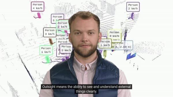
Outsight means the ability to see and understand things clearly: we transform Raw 3D data from different manufacturers into actionable information.

If you prefer reading:
In the context of the autonomous car, billions of dollars have been invested to develop a new type of sensor called Lidar.
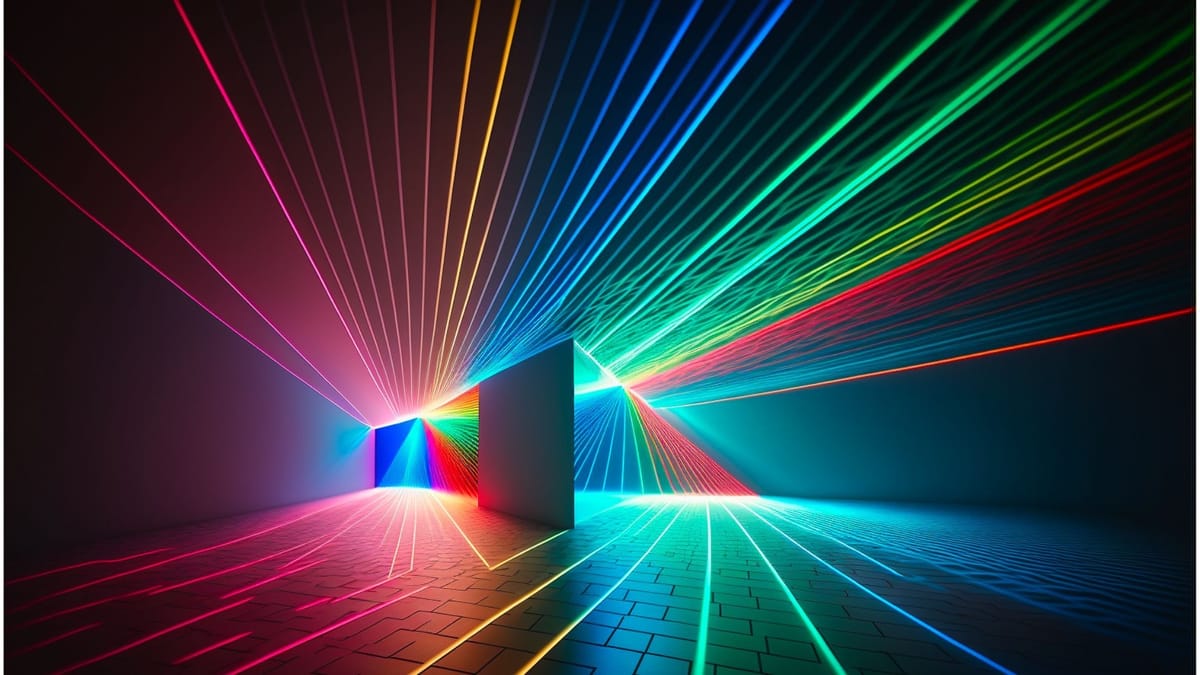
Its working principle is simple: the sensor sends laser beams that bounce off all the objects around.

As the speed of light is known, the distance can be easily calculated, but also the size and volume of the objects.
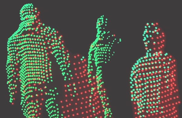
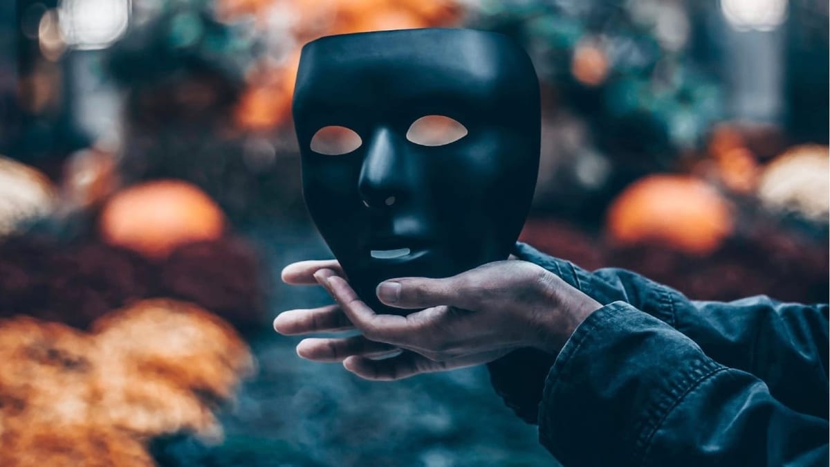
LiDARs also provide a unique benefit for privacy: unlike cameras, they do not allow identification of people.

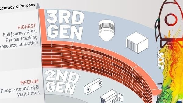
Competition from dozens of companies manufacturing these sensors has resulted in dramatically lower prices, along with improved performance.
This now makes it possible to deploy it in a wide range of industries, well before the automotive industry.
However, 3D data is new and much more complex to process than traditional images.
Solving these problems is the mission of Outsight.

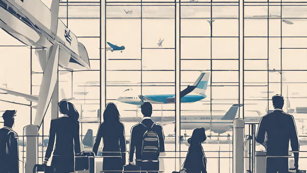
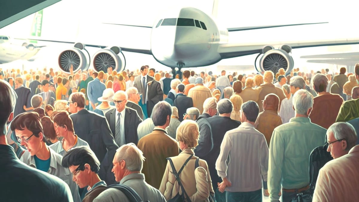
Based on raw sensor data, our software solutions enable the anonymous monitoring of people and vehicle flows in a variety of contexts such as airports and railway stations, shopping centres and sports facilities.
We also equip industry, agriculture, defence and many other sectors.

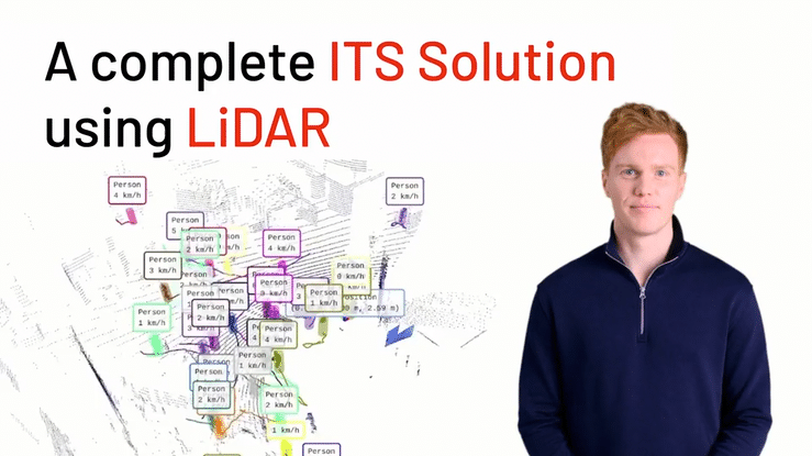
Many applications in the area of Intelligent Transportation Systems (ITS) benefit from 3D LiDAR perception:
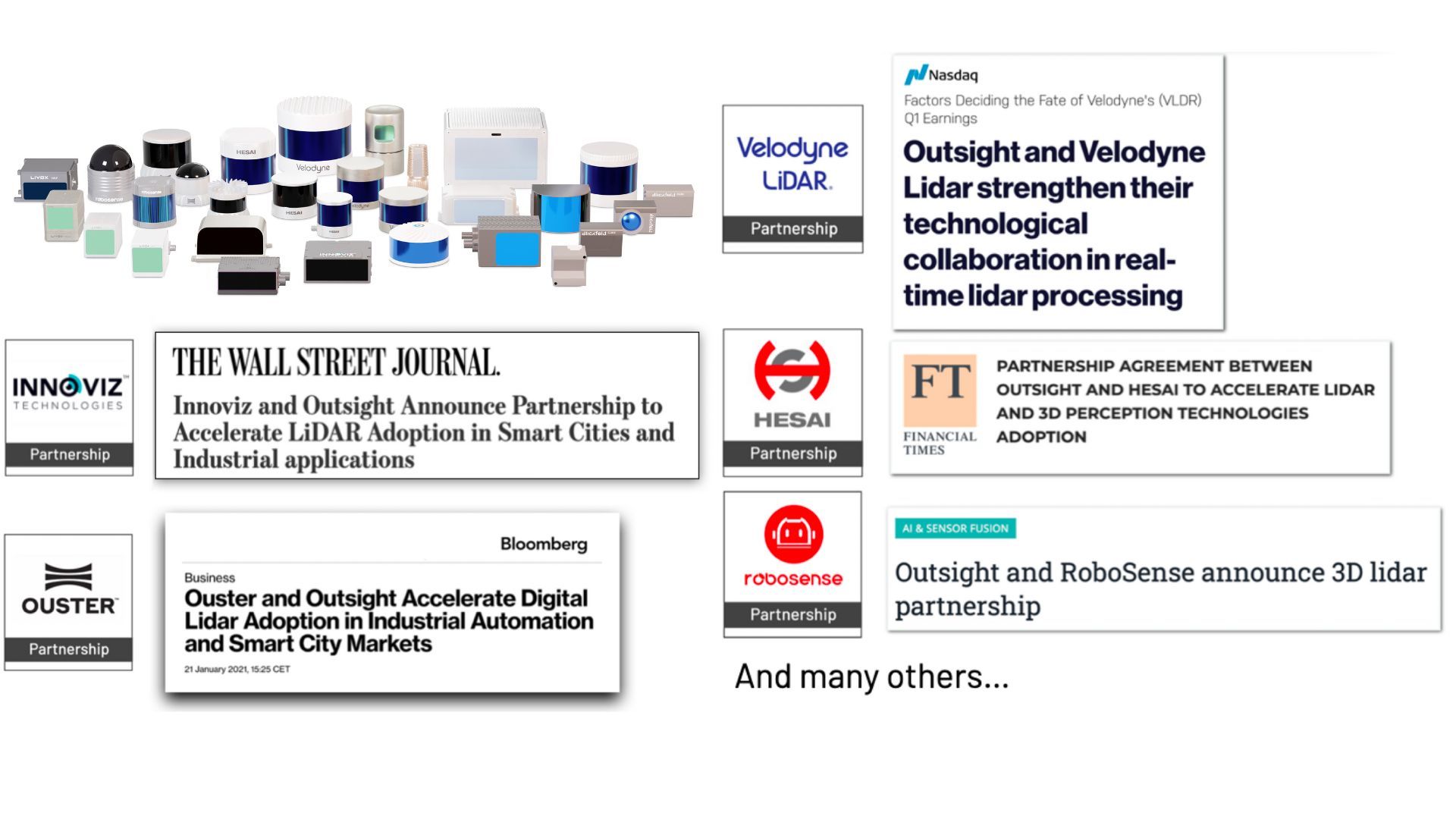
As pioneers and global leaders, we have established strategic partnerships with most sensor manufacturers, such as Ouster, Velodyne, Robosense, Innoviz and Hesai, all of whom have strengths and weaknesses.
This allows us to respond to ambitious customer problems, as we did at Charles-de-Gaulle to track the simultaneous individual movement of thousands of travellers.

Our solutions have been awarded many times, but above all developed thanks to the constructive feedback of hundreds of users from different industries.

Finally, all of this is made possible thanks to solid shareholders and the best experts in the field, more than eighty Outsighters based in Paris, Sophia-Antipolis and San Francisco, as well as UK, Belgium, Spain and recently in Hong-Kong.