LiDAR Software - an enabler for expanding ITS solutions
With the global rise of 3D sensor demand, LiDAR has never been so accessible and it’s becoming essential for Intelligent Transportation System applications.
Rapidly growing populations in metro regions worldwide have created new and pressing difficulties, such as increased road traffic, traffic-related deaths, and higher carbon emissions.
These factors have highlighted more than ever the urgency and importance of multiplying intelligent transportation system solutions.
LiDAR technology, utilized in vehicle and pedestrian flow monitoring, has the potential to make our cities smarter and safer. This technology provides insights that help cities allocate resources more efficiently, reduce emissions, and decrease accident rates.
However, for flow monitoring to be impactful, it requires precise perception, situational awareness, and respect for citizens' privacy—qualities where LiDAR technology excels.
Here is where LiDAR is to be considered among the most prominent technologies.
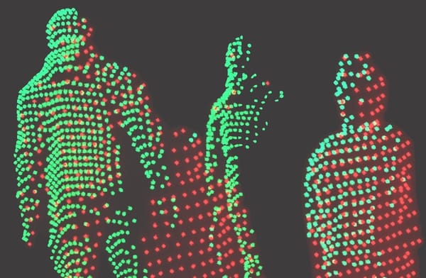
LiDAR sensors stand out by offering highly detailed, accurate spatial measurements. Unlike existing 2D-based perception technologies, such as cameras, the 3D data from LiDAR produces highly detailed, accurate spatial measurements (LiDAR sensors achieve centimeter-level accuracy) (4) and works in various environments and contexts, such as during the night or in direct sunlight.
Moreover, when deployed on a large scale, LiDAR systems ensure privacy as they do not capture personally identifiable information.

In the context of ITS solutions, LiDAR opens up many opportunities, including traffic monitoring, smart intersections, the detection of VRUs (5), near-misses events, and the increase in the overall safety of both vehicles and pedestrians.

However, the adoption of LiDAR systems in these contexts is often hampered by the complexity of the data output, especially when integrating multiple LiDAR sensors in various orientations and configurations, sometimes even from different manufacturers.
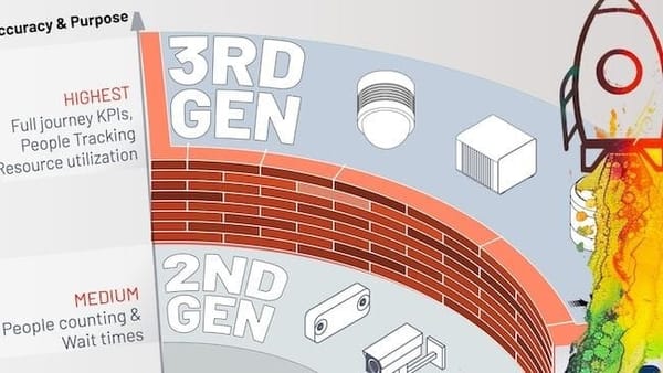
To address these challenges, the market now offers 3D LiDAR data preprocessors.
The first such preprocessor, the Augmented LiDAR Software introduced by Outsight in 2019, has become highly popular because it is compatible with any LiDAR and offers comprehensive, user-friendly features.

The software from Outsight can provide information about the volume, trajectory, and even the classification of objects that have been spotted, in addition to converting raw data into actionable data.
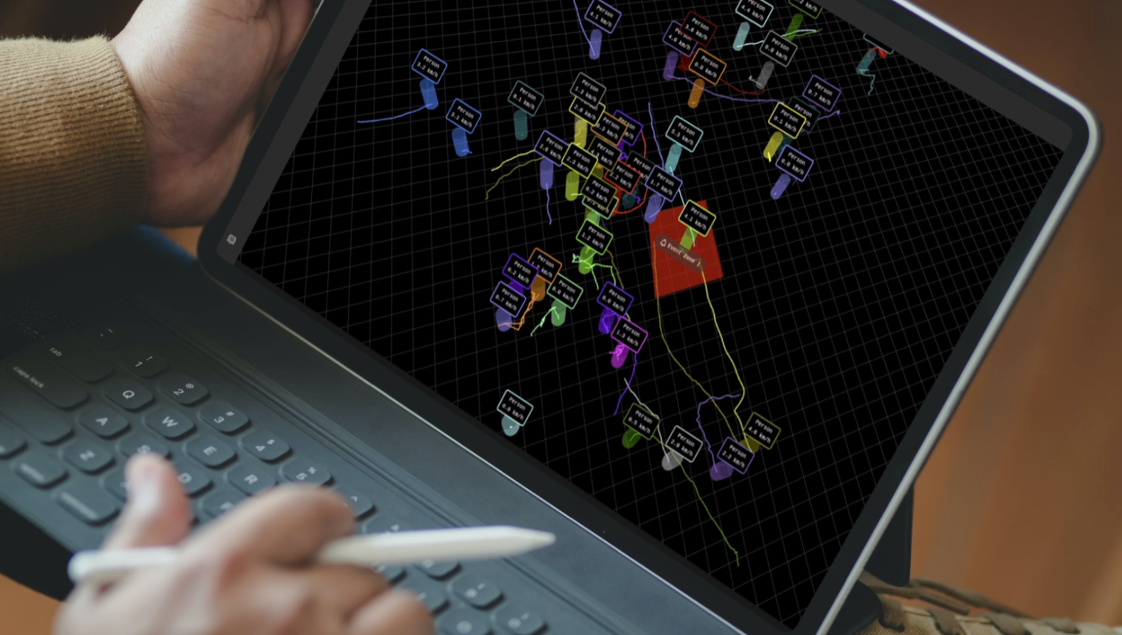
LiDAR preprocessors tackle these issues head-on, especially beneficial for ITS applications, as they convert voluminous 3D data into narrow-band data when processed alongside sensors at the edge. This conversion allows for efficient low-power wireless communication.
As a recent example, Outsight has provided systems to monitor and manage traffic intersections in some important US city centers, reducing the number of fatal and serious injury collisions in traffic to zero (6).
The next video details the most important steps behind this solution:
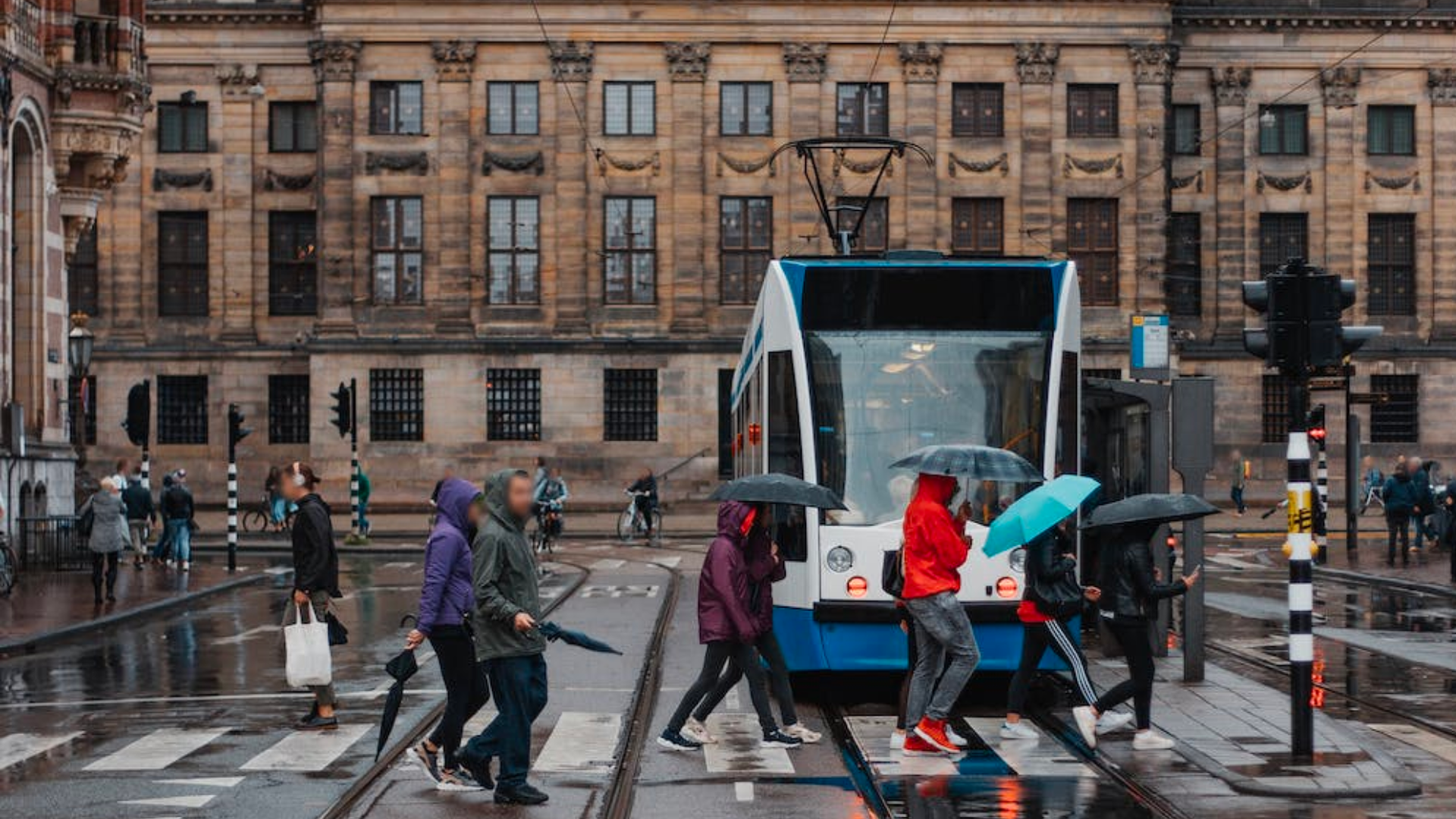
Major cities globally, such as New York City, Amsterdam, Stockholm, and Singapore, have already advanced their ITS capabilities, paving the way for others to follow suit.
In these scenarios, LiDAR solutions will undoubtedly accelerate the implementation of smart city initiatives thanks to their high precision, versatility, affordability, and ease of integration with the appropriate software.
If you want a consultation with one of our product specialists on how to start your Smart Traffic LiDAR-based application, you can do it by using this contact link.
With the use of our real-time preprocessing software, it has never been simpler to develop advanced 3D-based solutions for the maritime industry.
Download our free Whitepaper to learn more about LiDAR solutions for Smart Cities by clicking below:

Sources:
1. ECA, “Urban Mobility in the EU”, April 2019
2. INRIX, “Congestion Costs Each American Nearly 100 hours, $1,400 A Year”, March 2020
3. Mckinsey, “Automotive revolution – perspective towards 2030”, January 2016
4. Source: Vectornav, LiDAR mapping
5. Vulnerable Road Users
6. City of Bellevue, WA - Transports, “Vision Zero”


