How LiDAR and Edge Computing Are Powering Vision Zero
Edge Computing + LiDAR enable real-time road safety. Outsight’s software solution ensures seamless integration, making Vision Zero a reality.

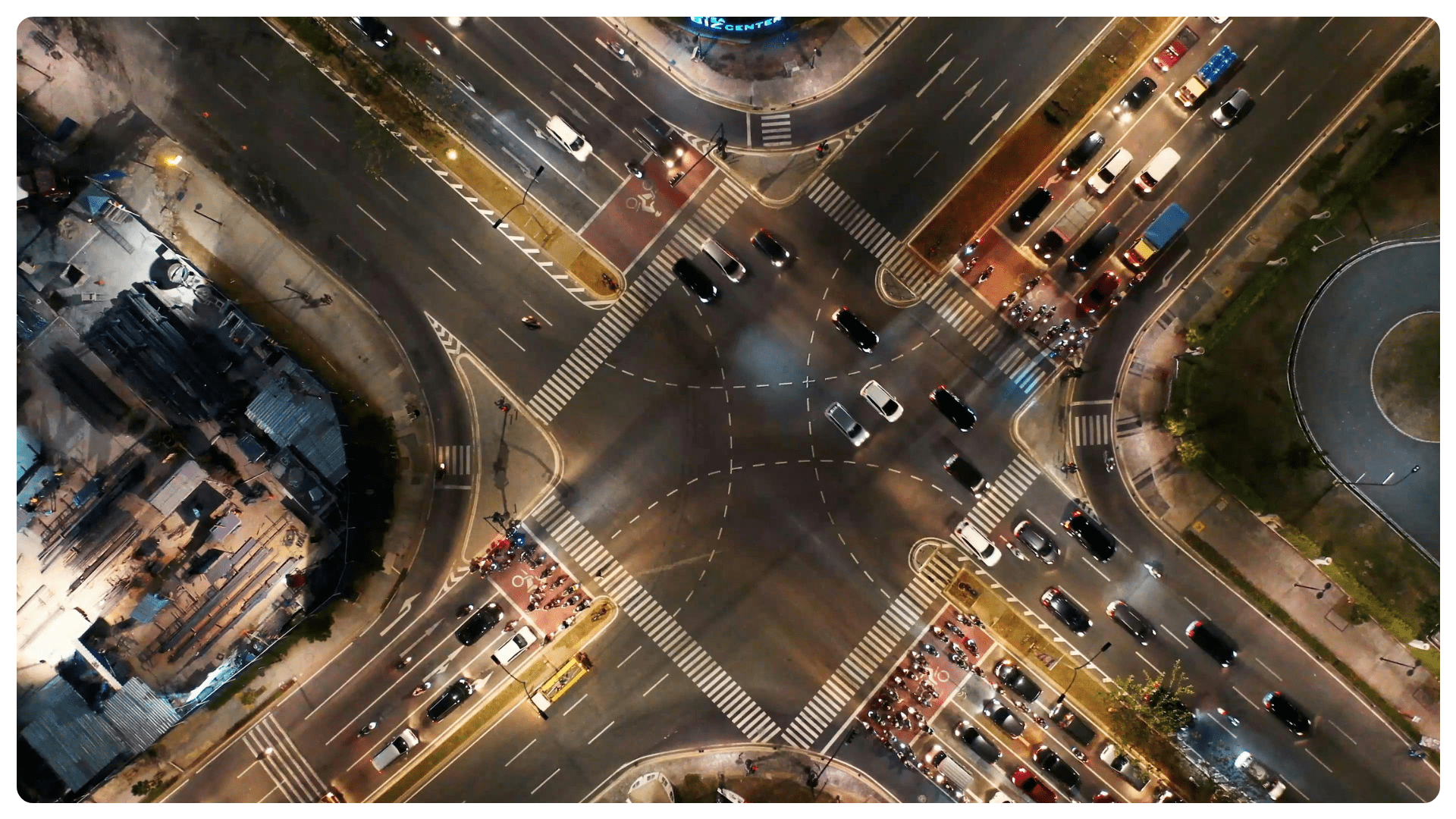
Edge computing—processing data close to where it's generated—is transforming how cities approach traffic safety. This shift is particularly vital for realizing Vision Zero, the international initiative aimed at eliminating all traffic-related fatalities and serious injuries.
When paired with 3D LiDAR-based Spatial Intelligence, edge computing becomes a transformative enabler of real-time decision-making in dynamic urban environments.

Traditional models transmit real-time sensor data to cloud platforms for analysis. Although the sensors operate in real time, offsite data processing demands substantial bandwidth and can introduce latency—an unacceptable compromise in environments where every millisecond matters.

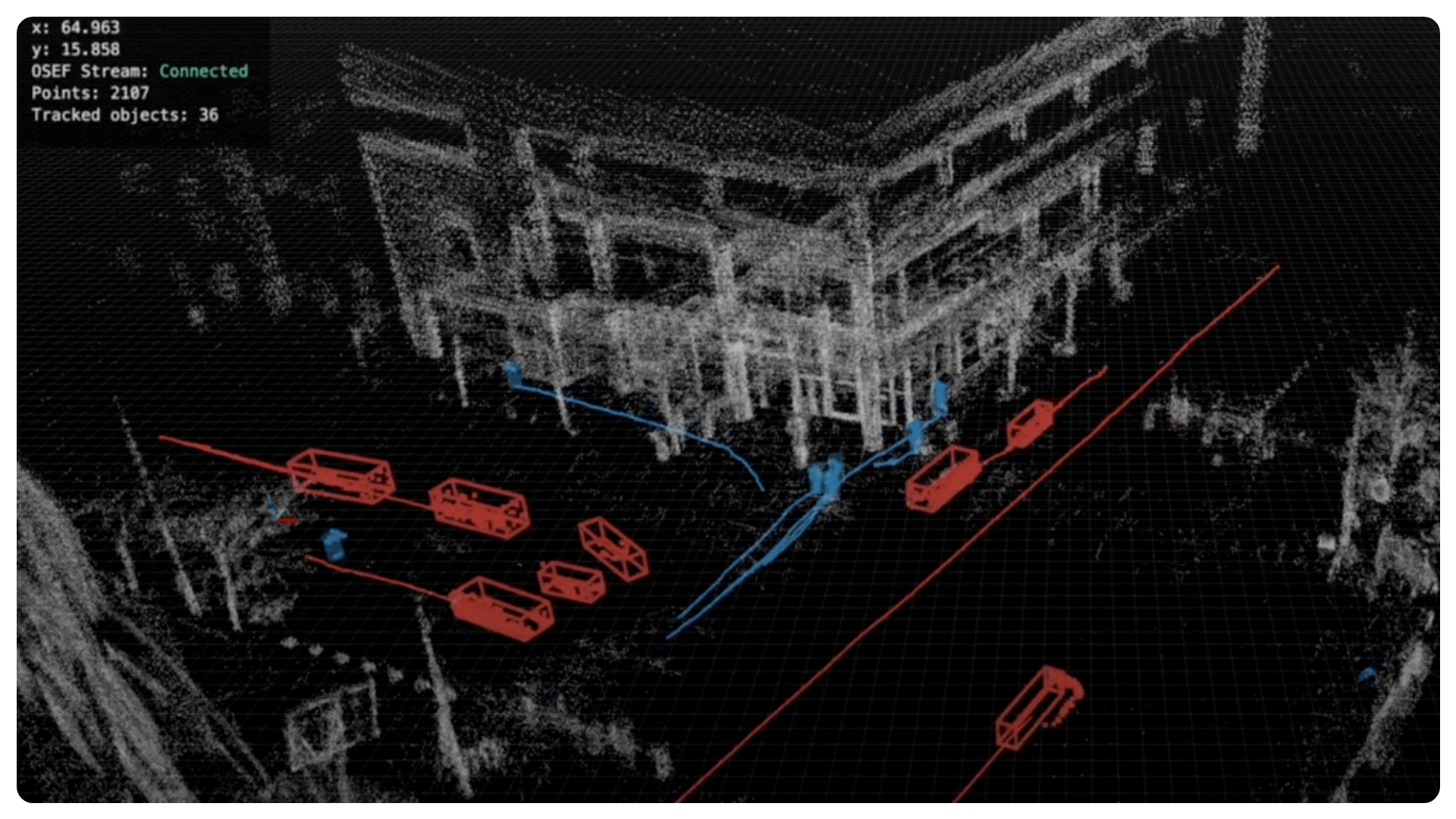
By processing 3D LiDAR data directly at the edge, municipalities and infrastructure operators can instantly detect hazards, optimize traffic flow, and enhance road user safety.
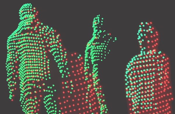
Unlike traditional sensors, such as cameras, LiDAR generates precise, anonymous 3D maps unaffected by lighting or weather conditions, offering robust detection of pedestrians, cyclists, and vehicles in real time.
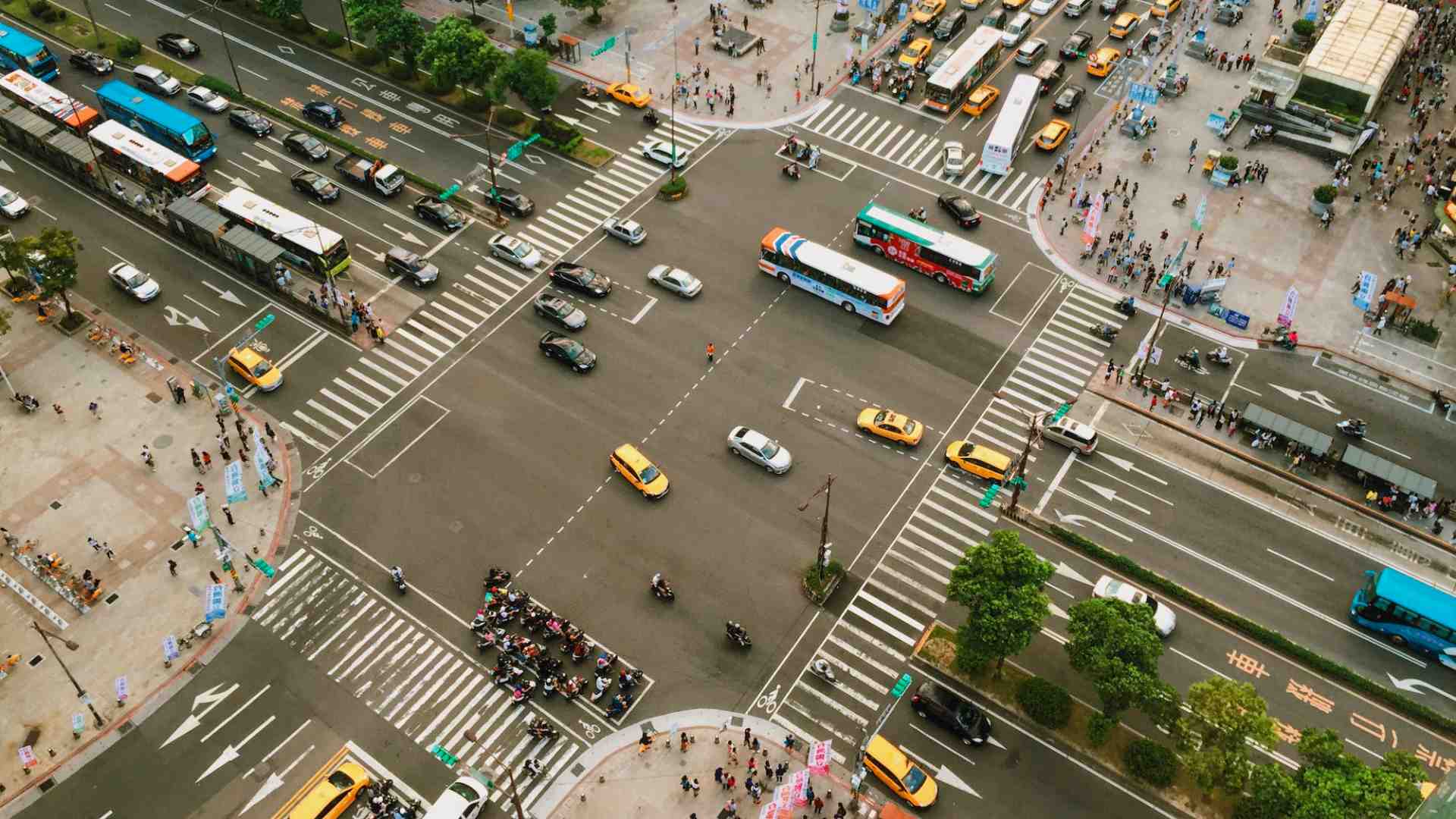
This high-frequency, high-fidelity data—when processed at the edge—enables predictive analytics, real-time alerts, and continuous traffic monitoring. As the result, it enhance safer streets, smarter intersections, and accelerated progress toward Vision Zero goals.
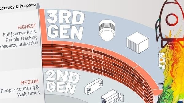
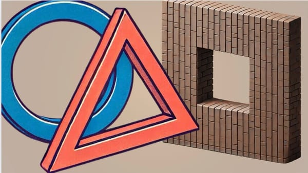
Despite its potential, large-scale LiDAR adoption is hindered by fragmentation in hardware protocols. Many LiDAR manufacturers use proprietary data formats, complicating integration and limiting scalability. Open and standardized data formats are essential to accelerate deployment and prevent vendor lock-in.
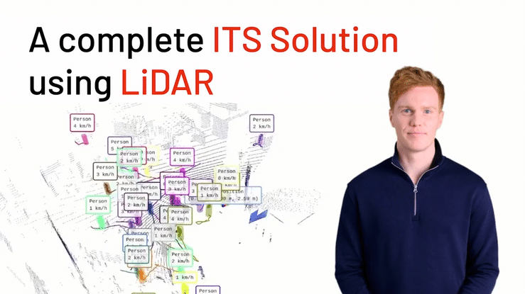
Learn more about ITS solution using LiDAR
Outsight brings the solution to this challenge with a hardware-agnostic software platform designed to work seamlessly with multiple sensor brands, overcoming compatibility challenges and enabling faster adoption.
LiDAR hardware is only part of the equation. Without powerful software to interpret raw data in real time, its potential remains untapped. Outsight’s software transforms complex 3D data into meaningful, real-time insights, enabling smarter mobility decisions directly at the edge.

Learn more about attributes of an open data format for LiDAR software
Outsight is the leading and most experienced player in real-time edge processing for LiDAR, a position recognized as early as 2023 by the prestigious Edge AI Product of the Year award.
From traffic analytics to vulnerable road user detection, Outsight’s technology empowers infrastructure operators and cities to make faster, more informed safety decisions.
By enabling real-time Spatial Intelligence through open, scalable software, we help move global mobility systems closer to Vision Zero—turning real-time perception into real-world impact.