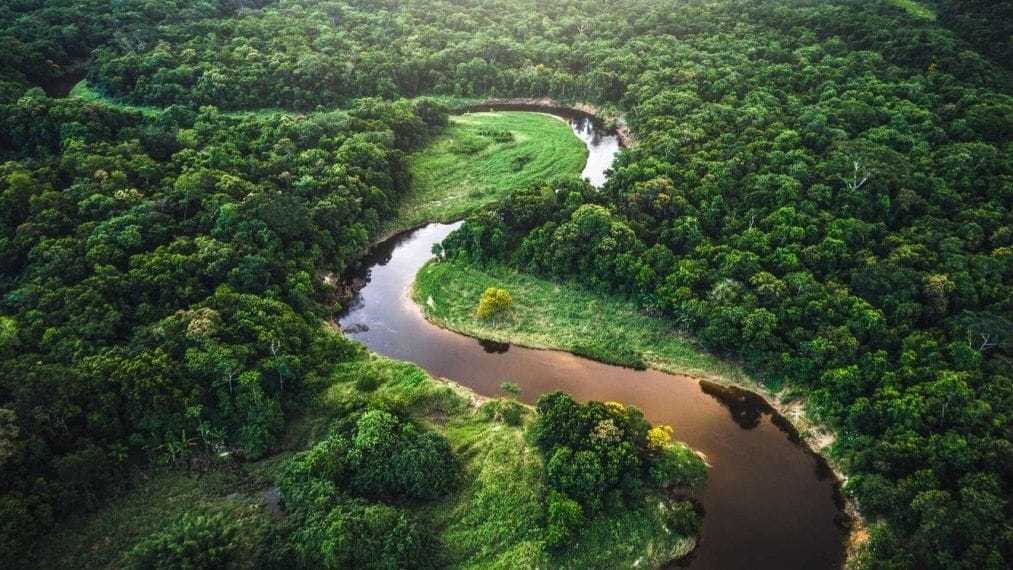
Impressive urban remains in the heart of the Amazon
Thanks to a new technique to map forests in 3D and in real time with LiDAR, the study of archaeological sites has been possible, revealing urban remains in dense forests

Due to its dense forest, the study of archaeological sites in the Amazon has always been complicated and limited in detail. A new technique for obtaining 3D images of the ground surface has recently been used and has revealed remarkable urban archaeological remains!
The solution uses lidar technology to locate each tree as the forest agent moves, who can then digitally tag it with additional information (tree species, presence of insects, etc.).
Over the past few thousand years, pre-Hispanic farmers from the Llanos de Mojos, Bolivia, settled in the savannahs of the Amazon whose soil benefits from rather advantageous agricultural and aquaculture properties.
This area of plains was flooded for a long time during the saison rains favoring a significant sedimentary deposit and therefore the creation of an elevated topography over time and a rich and well-drained soil.
Scientists know that the Casarabe culture largely developed there approximately between 1,400 and 500 years ago, with a locality covering an area of 4,500 km2. It had been found in these places the presence of 189 large monumental sites, 273 smaller sites and finally 957 kilometers of canals and roads.
Moreover, the excavations affirm that these sites were well inhabited throughout the year and that the natives were very organised: they cultivated their food, they had control systems of the waterhunted and fished for their food needs. protein.
The laser technique
Despite all this archaeological information collected, the mapping of the sites has always been very complicated and limited in detail due to its location in a tropical forest environment.
To overcome this constraint, Dr. Heiko Prümers and his colleagues carried out airborne laser mapping for six areas in which the known major settlements are concentrated.

It involves attaching a laser scanner to a helicopter, small plane or drone, making it possible to map the terrain. The images were then digitally worked to remove the vegetation and keep only the land surface, they made it possible to obtain beautiful models in the form of a 3D image, shared in the review Nature.
Surprising remains!
The images revealed two remarkably extensive sites giving way to urban archaeological remains including civic (dwellings) and ceremonial architecture. These infrastructures include stepped platforms on top of which are U-shaped structures, mounds of rectangular shapes and conical pyramids rising up to 22 meters high.
These two large settlement sites are surrounded by concentric polygonal beds representing knots hubs that are connected to lower-tier sites by straight, elevated causeways that stretch for several kilometres. Finally, these 3D images also show massive infrastructure for water management, consisting of canals and reservoirs.
However, it is not yet possible to estimate how many people lived in this anthropized system.
The organization and layout of the settlement indicates that many hands must have been at work and that this population must have increased as evidenced by the expansion of the rampart-moat system.