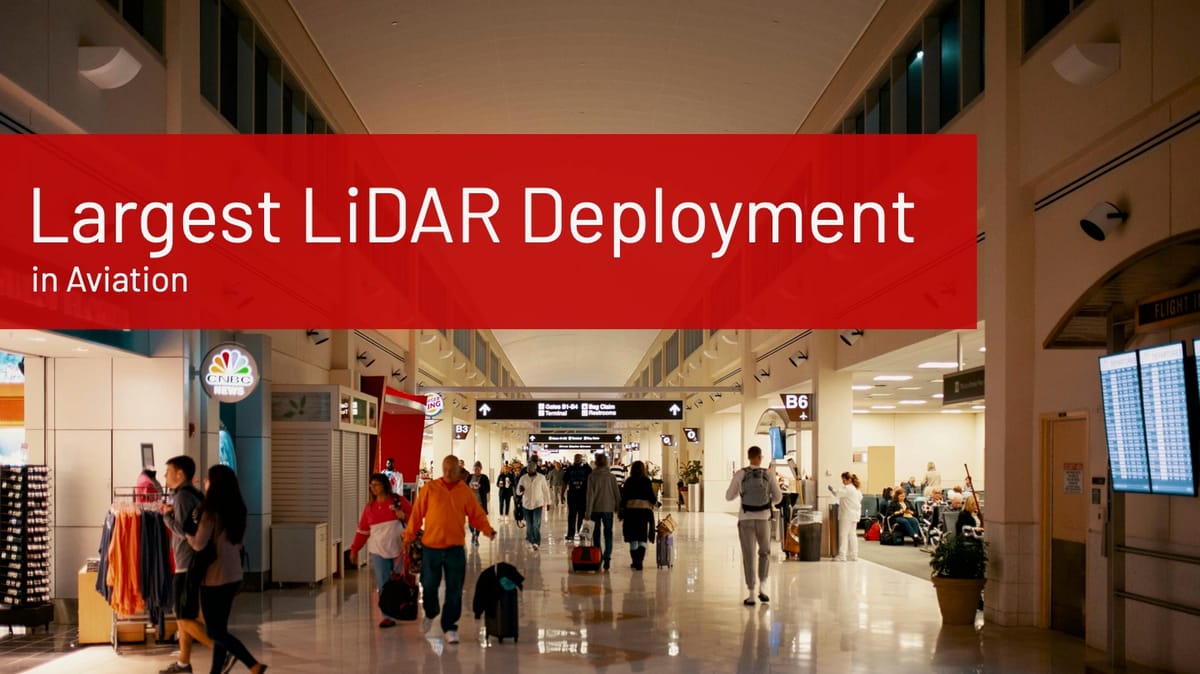
Fixing Friction: How LiDAR and Spatial Intelligence Are Transforming Airport Checkpoints
Long lines at check-in and security cost airports millions. LiDAR-powered Spatial Intelligence offers a smarter, privacy-first way to improve flow and recover lost revenue.

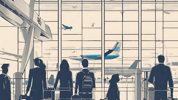
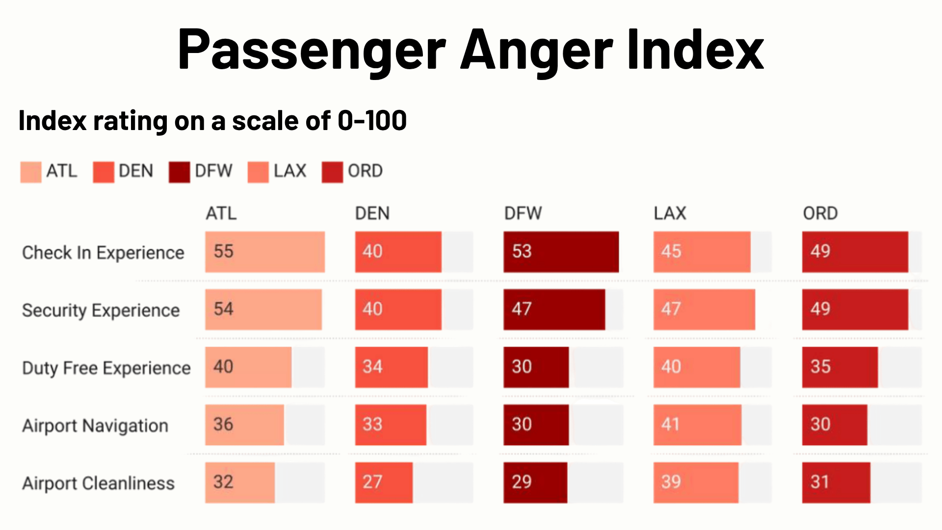
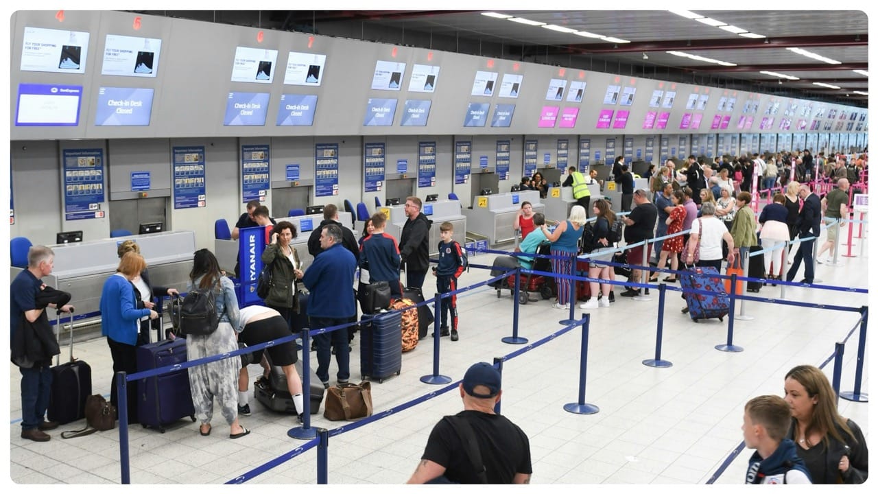
At airports, long queues and unpredictable wait times at check-in and security checkpoints are among the top sources of frustration for travelers. Recent analyses of over 20,000 passenger reviews show significant friction at two critical checkpoints: check-in and security.
These pain points aren’t just inconvenient, they have a measurable financial impact.
Over 55% of travelers say they would choose a different airport if it meant avoiding long check-in and security queues, according to AeroCloud’s 2024 report Destination Airport: The Runway to Revenue Growth
When passenger expectations are not met, trust erodes, and both satisfaction and spending decline.
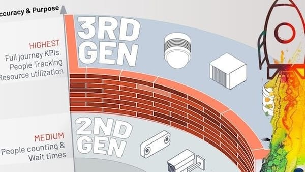
To address these issues, many airports rely on traditional tools such as manual observation, camera-based video analytics, radar sensors, and Wi-Fi tracking. Some more advanced solutions use AI layered onto camera systems to estimate crowd density and movement patterns.
While these systems offer some insights, they often aren’t accurate in real time, don’t show detailed movement, or raise privacy concerns.
These tools also have problems. For example, showing how people move through different parts of the airport, especially in crowded places. In large-scale operations, they often give incomplete or delayed information. Which makes them less useful in fast-moving areas like security and check-in.
Improving flow and reducing friction in these high impact areas requires a more advanced approach.
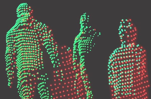
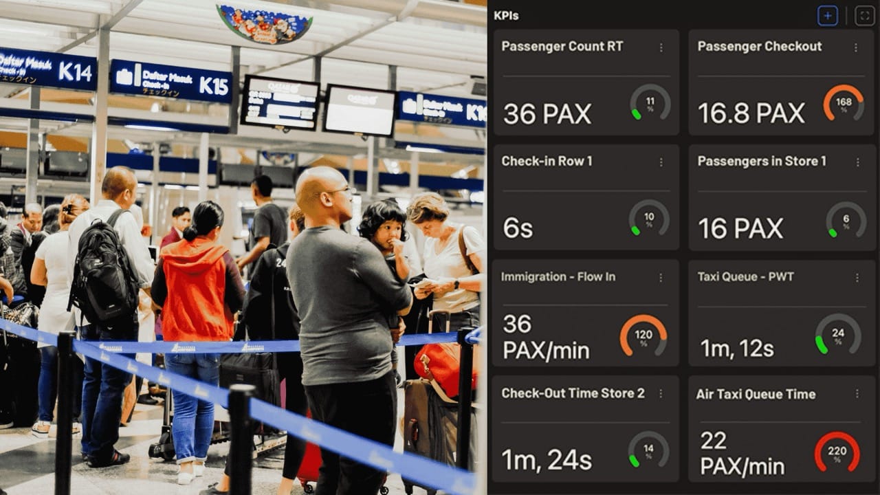
Airports need precise, real-time, and fully anonymous data about how people move. Especially in areas where delays cause the most frustration and revenue loss. This is where 3D Spatial Intelligence powered by LiDAR technology becomes transformative.
This creates a detailed 3D map of the space and shows how people move. Without using cameras or collecting personal information.

For a deeper dive, you can read our earlier post.
Outsight’s software uses LiDAR to track how people and vehicles move in large places like airport terminals. Unlike video cameras, LiDAR doesn’t record personal details, it only measures movement. This helps airport teams spot crowded areas, like at check-in and security. They can then make fast decisions, such as sending more staff or opening more lanes.
This leads to smoother passenger flow, better use of resources, and keeps everyone’s privacy safe.
When airports fix the biggest pain points, like check-in and security, they can win back passenger trust and avoid losing money. These two areas are the main causes of frustration.
By reducing delays at these checkpoints, airports could gain back part of the $188.7 million in revenue that’s at risk because of long wait times and unhappy travelers. Smoother flow means happier passengers, more time to shop, and a better airport experience overall.
As travelers expect more, airports face tough competition, making the journey smooth and easy is now more important than ever. Using 3D Spatial Intelligence with LiDAR is a smart way to rebuild trust, fix daily problems faster, and find new ways to earn revenue.
Outsight’s software uses LiDAR to track how people move in airport terminals.
With real-time and accurate data from a platform like Outsight’s Shift, airport teams can track how people move, make quicker decisions. And do it all without slowing things down or risking anyone’s privacy.
Now is the time for airports to improve flow and boost revenue potential by turning real-time data into faster, smarter decisions.