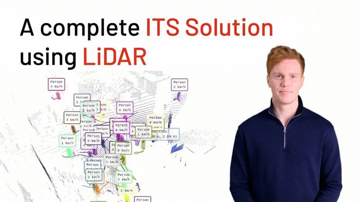
End to end ITS application by Outsight
Outsight provides the easiest and most comprehensive way to use LiDAR in ITS: from Simulation to Deployment and Analytics' Dashboard.
If you prefer reading:
Let's see the whole process using the raw data from several LiDARs with Outsight's software, from Simulation to Deployment and Analytics' Dashboard in the context of Smart Cities' applications, detecting Vulnerable Road Users and Near Misses events.
The first step, using Outsight Cloud, it's to build a 3D simulation in no time, integrated with Google Maps.
As a result, you can easily see what's the best position and orientation of each LiDAR, and how many of them you actually need.
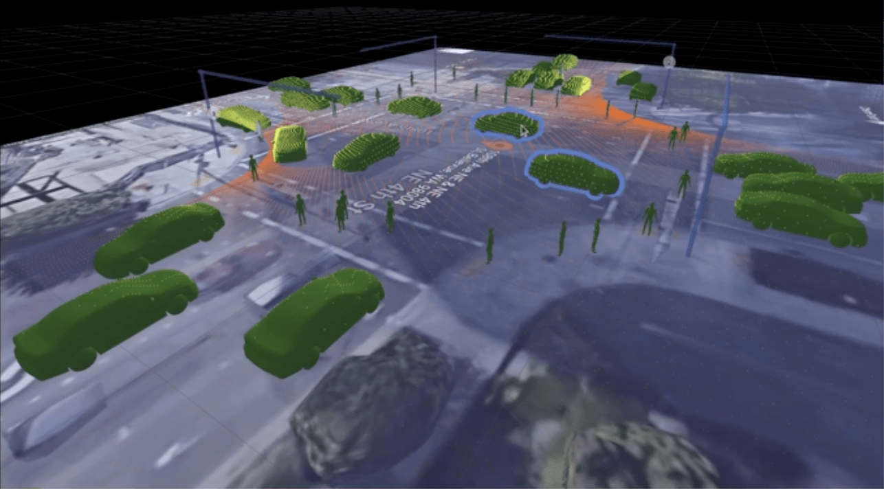
The installation is super easy.
Now you are ready to create Zones of interest using the provided Web User Interface. No development is required.

These zones, combined with the Object Tracking feature, will trigger events as soon as an object is entering or leaving them.
That includes Pedestrians, for example entering crosswalks, and vehicles that should stop at traffic lights.

The data related to these events is delivered in real-time, allowing alarms to be triggered whenever necessary.
The same information, aggregated over time, feeds a Dashboard.
You can now not only react to short-term events, but also analyse trends and track Key Indicators over long periods of time.
And this is how simple and quick it is to create an End-to-End application for Smart Cities.
Outsight processing software, thanks to the unique value of 3D data collected by LiDAR, deliver an unprecedented level of Spatial Intelligence.
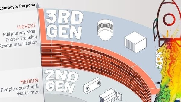
Learn more in this article:

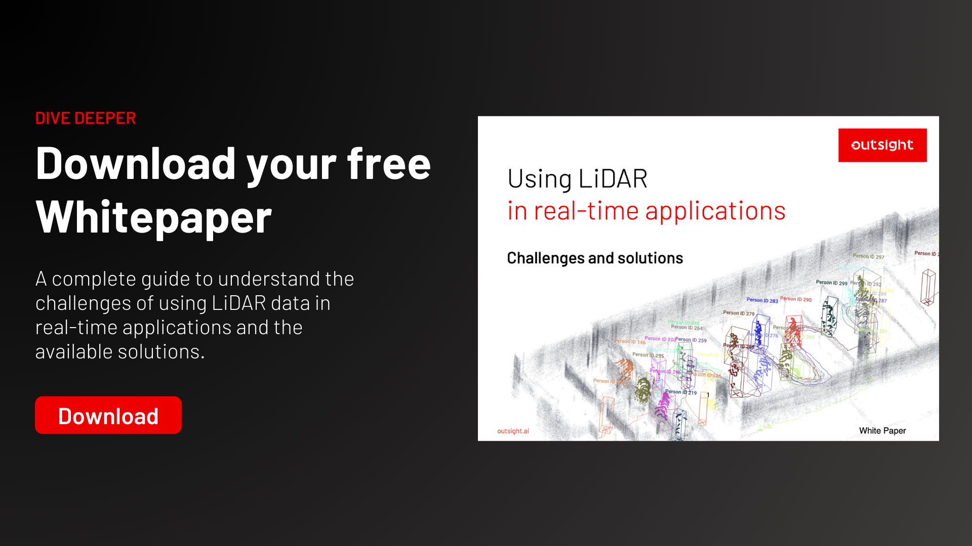
If you want to dive deeper, get your copy of the LiDAR ITS Cookbook:
